Discover the Lake
Lake Skadar Geography: Size, Depth, Rivers and Formation
Lake Skadar is the largest lake in Southern Europe, covering 370 to 530 square kilometres depending on the season. It stretches about 44 kilometres across the Montenegro-Albania border. It is a karst cryptodepression, meaning parts of the lakebed sit below sea level even though the surface lies just above it. The Morača River supplies most of its water, and the Bojana River drains it to the Adriatic. This guide explains the lake's size, depth, formation and water system.
Chat on WhatsApp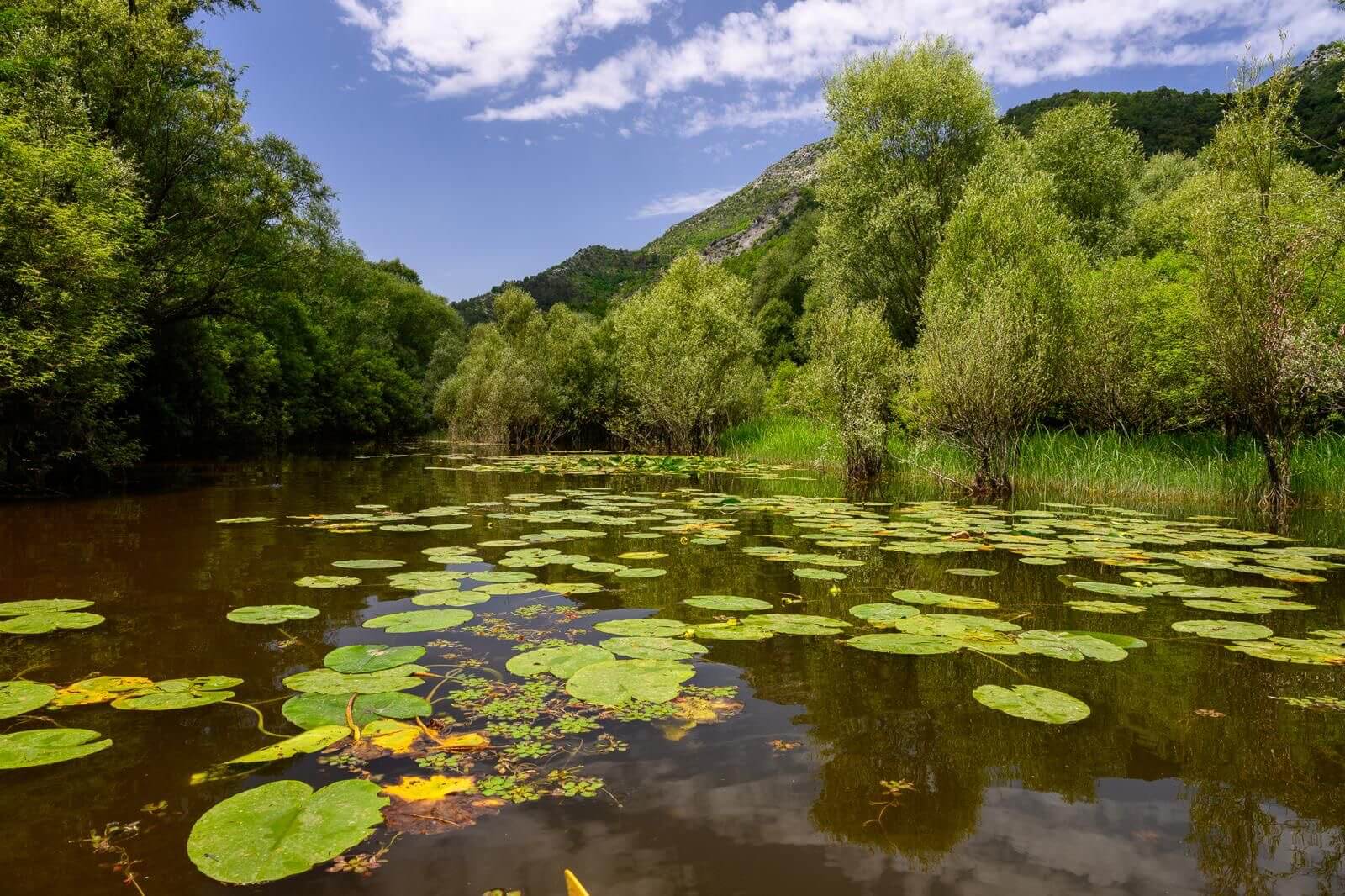
Surface area
370–530 km² (seasonal)
Length
about 44 km
Maximum lake depth
around 44 m
Deepest spring (Radus)
60+ m below surface
Shared by
Montenegro & Albania
National park
since 1983
Ramsar wetland
since 1996
Main inflow
Morača River
Size and Why It Changes
Lake Skadar breathes with the seasons. After the winter rains and snowmelt it can spread to around 530 square kilometres. By late summer it shrinks toward 370. The water level varies by roughly five metres through the year, flooding reed forests and meadows in winter and exposing shallow flats in summer.
Even at its smallest summer size, it remains the largest lake in the Balkans, ahead of Lake Ohrid and Lake Prespa.
| Lake | Countries | Area (km²) |
|---|---|---|
| Lake Skadar | Montenegro / Albania | 370 to 530 |
| Lake Ohrid | North Macedonia / Albania | 358 |
| Lake Prespa | Greece / Albania / N. Macedonia | 285 |
Depth and the Cryptodepression
The open lake is shallow, with an average depth of only a few metres and a maximum of around 44 metres in the deepest basins. What makes it unusual are its springs. The deepest, the Radus spring, plunges more than 60 metres below the surface, well below sea level.
This is why the lake is called a cryptodepression: parts of its bed lie beneath sea level while the surface sits just above it. The deep springs feed cold, clear groundwater into an otherwise shallow lake.
How the Lake Formed
Lake Skadar sits in a tectonic basin, a downfaulted graben that opened as the Dinaric Alps were formed during the Cenozoic era. In earlier geological periods the Adriatic Sea reached this far inland, and fossil seashells have been found near present-day Podgorica.
The modern freshwater lake took its shape more recently. In 1858 a major flood sent water and sediment from the Drin River into the Bojana. The sediment helped dam the lake's outlet to the sea. That sealed the basin into the permanent freshwater lake seen today.
Rivers and Karst Springs
The lake's water comes from rivers above ground and springs below it.
- Morača River:the main inflow, supplying most of the lake's water from the north.
- Crnojevića River: enters in the northwest, through the canyon at Rijeka Crnojevića.
- Crmnica River: flows in from the southwest.
- Karst springs (oka): underwater springs where groundwater, filtered through the limestone mountains, wells up into the lake.
The single outflow is the Bojana River, which carries the lake's water roughly 41 to 44 kilometres to the Adriatic Sea. The karst springs, including Radus, bring cold, clear water that contrasts with the siltier river inflows, and fishermen have long used them as natural harbours.
A Shared, Protected Lake
About two-thirds of the surface lies in Montenegro and one-third in Albania, where it is known as Lake Shkodër. The Montenegrin side has been a national park since 1983. The whole wetland joined the Ramsar list of Wetlands of International Importance in 1996. Both countries take part in protecting it.
The geography drives everything else about the lake. The shallow, seasonally flooded shores create the bird habitat, the springs feed the swimming coves, and the islands carry the monasteries and fortresses. For how Skadar compares with Montenegro's mountain parks, see the national parks guide, and for the full overview, the complete Lake Skadar guide.
See the geography from the water
Maps explain the lake, but the canyon, the springs and the open water make sense only from a boat. A private tour from Rijeka Crnojevića follows the Crnojevića River through its canyon before the lake opens out. Captain Dusko points out the springs and channels. See all routes on the tours page, or read about the protected wetland in the national park guide. Message Captain Dusko on WhatsApp to plan your visit.